土地区画用ソフトウェア
{{product.productLabel}} {{product.model}}
{{#if product.featureValues}}{{product.productPrice.formattedPrice}} {{#if product.productPrice.priceType === "PRICE_RANGE" }} - {{product.productPrice.formattedPriceMax}} {{/if}}
{{#each product.specData:i}}
{{name}}: {{value}}
{{#i!=(product.specData.length-1)}}
{{/end}}
{{/each}}
{{{product.idpText}}}

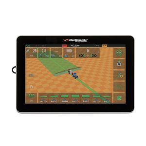
... Hemisphere GNSSの新しいOEMアプリケーションソフトウェアとハードウェアをご紹介します。 HemisphereGNSSは、業界をリードする技術で、お客様のアプリケーションをサポートします。お客様独自の精度と耐久性の要求から始まり、お客様のビジネス価値を促進するソリューションを設計します。 ヘミスフィアは、どんな農業誘導制御ソリューションも一から作成できます。コア技術の開発から、GNSS OEMボードの作成、完成品の製造まで、世界トップクラスの社内設計・ソフトウェアチームにより、可能性は無限です。Hemisphereは、最初から最後まで顧客と密接に協力することで、各ソリューションに適切なレベルの技術が組み込まれていることを保証します。 OEMもエンドユーザーも、Hemisphereの顧客第一主義、サービス重視の理念により、技術的な柔軟性と拡張性をもって、ビジネス上の変数を管理することができます。 Hemisphere社のLandMetrix ...

... NEXT Area Sur veyingOffice NEXT Area SurveyingOffice では、境界石や測量対象エリアを検索できます。ランドスケープエレメントは歩留まりのために文書化され、切削データの分類はグラフィカルにマッピングされます。デジタル航空画像や様々な測量データ(ALKIS など)を参考にすることで、境界石を簡単に見つけることができます。既存の測量で正確性を確認したり、土地区画の位置を確認したりできます。また、シャフトカバーなどのマーカーを測定し、この情報を制御システムに送信することも容易です。 ...
改善のご提案 :


詳細をお書きください:
サ-ビス改善のご協力お願いします:
残り