- Farm Management
- Precision agriculture
- WiFi receiver
- ComNav Technology Ltd.
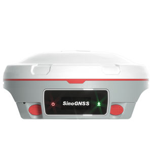
Satellite receiver Jupiter Laser WiFiGNSSGLONASS

Add to favorites
Compare this product
fo_shop_gate_exact_title
Characteristics
- Network
- GNSS, GLONASS, GPS, RTK, GALILEO, satellite, WiFi
- Other characteristics
- for surveying, IP67
Description
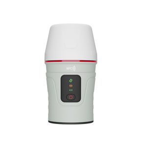
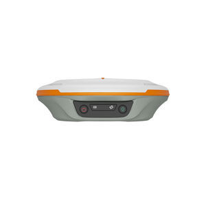
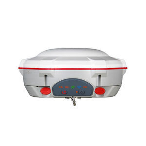
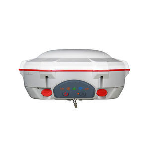
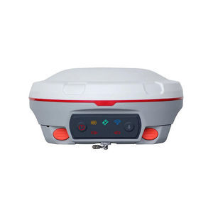
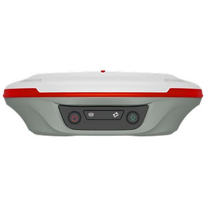
Jupiter Laser RTK is a high-end GNSS receiver that integrates cutting-edge GNSS, IMU, Laser and dual-camera technologies. Building on the advanced laser technology of the Universe Series, Jupiter also incorporates SinoGNSS’s latest visual stake-out technology. This combination brings out immersive surveying and stakeout experiences, even in previously hard-to-reach, signal-blocked, or dangerous field.
Precise green laser and built-in camera allow precise measurement of distant or hard-to-reach points
Supports tracking 1668 channels for all running and existing constellations
Dual-camera technology enhances visual stakeout with real-time 3D guidance for efficient operations
Auto-IMU enables 120° tilt compensation in conventional, laser, and visual modes without manual initialization
Super datalink supports multiple protocols and achieves a 15km range with SNLonglink under ideal conditions
An OLED color screen shows satellite status, power, and more for easy field monitoring
Jupiter Laser RTK’s green laser offers a 50-meter range and daylight visibility, ensuring accurate measurements in challenging areas like hard-to-reach, signal-blocked, or hazardous locations beyond range pole access.
With Jupiter’s camera, surveyors gain a 3D visual view on Survey Master software. By simply following the directional arrow and real-time distance, with the stakeout point marked directly on the ground, even less experienced operators can stake out points in one go, without moving the pole back and forth.
VIDEO
Catalogs
SinoGNSS Jupiter Laser RTK
2 Pages
Exhibitions
Meet this supplier at the following exhibition(s):


Related Searches
- GNSS receiver
- Guidance system
- GPS receiver
- GLONASS receiver
- RTK receiver
- Automated guidance system
- GALILEO receiver
- Farm machinery antenna
- GPS guidance system
- Precision agriculture receiver
- Tractor guidance system
- Agriculture machine guidance system
- GNSS antenna
- Wireless receiver
- GNSS guidance system
- RTK guidance system
- Surveying receiver
- GPS antenna
- Satellite receiver
- GLONASS antenna
*Prices are pre-tax. They exclude delivery charges and customs duties and do not include additional charges for installation or activation options. Prices are indicative only and may vary by country, with changes to the cost of raw materials and exchange rates.


