- Products
- Leveling system
- Mac2 Electronics srl
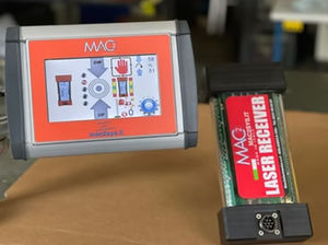
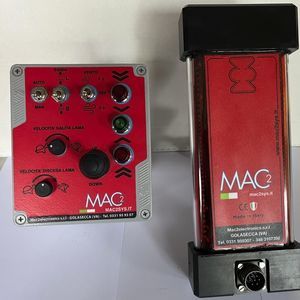
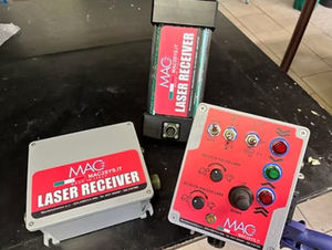
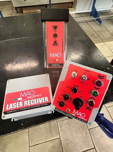
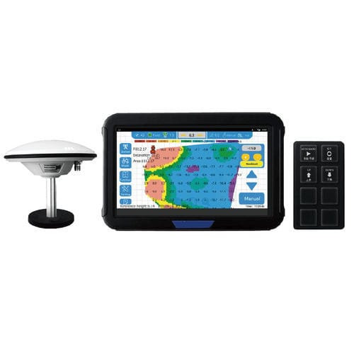
Satellite leveling system AG2000-3GNSSRTK3D
Add to favorites
Compare this product
fo_shop_gate_exact_title
Characteristics
- Type
- GNSS, RTK, satellite, 3D
Description
With GNSS, RTK positioning and terrain design technology, the 3D system provides high-precision, cost-effective and effective solutions for agricultural land planning, reclamation and leveling. The system enables the construction of smooth and uniform terrain with better water drainage and soil quality, saving manpower and resources.
With the satellite leveling system, an accuracy of 20 mm is achieved. Thanks to the VISUAL REFERENCE of the worked surface, a time and fuel saving of up to 40% is achieved.
Operating range of 5 km with the fixed base on the ground; with the additional power module the operating range reaches 15 km. No signal reception problems even in the presence of dust, fog, wind and cloud cover.
Catalogs
No catalogs are available for this product.
See all of Mac2 Electronics srl‘s catalogs*Prices are pre-tax. They exclude delivery charges and customs duties and do not include additional charges for installation or activation options. Prices are indicative only and may vary by country, with changes to the cost of raw materials and exchange rates.


