- Farm Management
- Precision agriculture
- Topcon Precision Agriculture

- Products
- Catalogs
- News & Trends
- Exhibitions
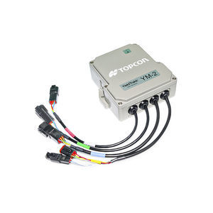
Field grading electronic control unit MC-R3for drainage
Add to favorites
Compare this product
fo_shop_gate_exact_title
Characteristics
- Application
- for field grading, for drainage
Description
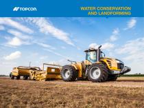
From basic flat and single-slope surfaces to advanced multi- and variable slope designs, Topcon GNSS Landforming offers fully customizable water management control. Comprising three key phases: survey, design, and execution, the solution can suit virtually any crop operation plus many niche applications, including ponds, building foundations and roads.
Operators can efficiently survey with proven base station and rover hardware.
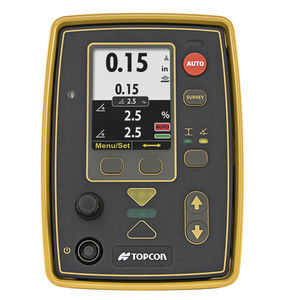
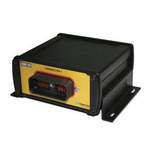
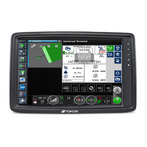
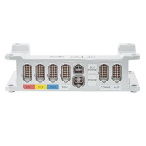
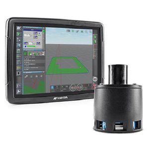
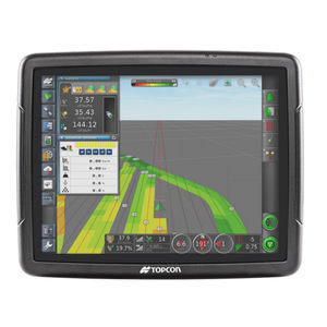
Data can be relayed via Bluetooth® to AGForm-3D design software to create tailored planar or variable slope designs. AGForm-3D offers unique patterns that move the least volume of soil possible, maintaining fertility and reducing inputs while optimizing water delivery and drainage. Easily execute by importing to Topcon X Family consoles (XD+ or X35), including a live positioning and cut/ fill map on-screen. Tied to the MC-R3 controller/receiver and MC-A1 scraper
antennas, the custom AGForm-3D design is automatically executed through the field.
Flat, single- multi-, variable slope, single or dual scraper control
Designs move minimal soil
Complete survey, design, and execution package
Easy setup and operation. 24/7, dust or fog
Catalogs
Exhibitions
Meet this supplier at the following exhibition(s):


Other Topcon Precision Agriculture products
Implement controllers and sensors
Related Searches
- Joystick
- On-board control terminal
- Tractor control terminal
- Digital control unit
- GNSS receiver
- Crop input control system
- Multi-purpose instrument with screen
- Spraying control unit
- RTK receiver
- Digital multi-purpose instrument
- Hand operated joystick
- CAN-Bus ECU
- ISOBUS control unit
- Seeding control system
- Precision agriculture receiver
- Wireless receiver
- Control terminal with touchscreen
- ISOBUS control terminal
- Fertilizer application control system
- Satellite receiver
*Prices are pre-tax. They exclude delivery charges and customs duties and do not include additional charges for installation or activation options. Prices are indicative only and may vary by country, with changes to the cost of raw materials and exchange rates.

