
- Farm Management
- Precision agriculture
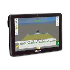
- Multifunction telemetry system
- Trimble Agriculture
Multifunction telemetry system SIS


Add to favorites
Compare this product
Characteristics
- Application
- multifunction
Description
SIS leverages advanced sensors and intelligent targeting and geo-processing algorithms to produce high resolution, accurate soil and topographic information. By providing a greater understanding of the physical and chemical characterization of the soil — including how inputs move through the soil — SIS enables more effective solutions for dealing with the unique challenges of problem spots in the field.
Key Benefits for Farmers
-Understand detailed soil properties for each field, such as soil texture, compaction, root zone depth, moisture retention and availability, and soil fertility.
-View soil analysis for up to the top 122 cm of the field’s surface in 3D.
-Work with your trusted advisor to create variable rate application maps from the soil map to help maximise plant growth.
-Access a robust dataset that drives intelligent irrigation decisions.
Types of SIS Maps
SIS offers precise 3D soil analysis for dozens of physical and chemical soil characteristics including:
-Root zone depth
-Soil texture (clay, sand, coarse fragment content)
-Moisture holding capacity
-Compaction characteristics
-Macro and micro-nutrient levels
-Salt and toxicity concentrations
VIDEO
Catalogs


Related Searches
- On-board control terminal
- Tractor control terminal
- Digital control unit
- Trimble steering system
- GNSS receiver
- Crop input controller
- Multi-purpose instrument with screen
- Crop input control system
- Automated guidance system
- Spraying control system
- GLONASS receiver
- GPS receiver
- Wireless receiver
- GALILEO receiver
- GPS guidance system
- Seeding control system
- ISOBUS control unit
- Wireless control unit
- GNSS guidance system
- GPS
*Prices are pre-tax. They exclude delivery charges and customs duties and do not include additional charges for installation or activation options. Prices are indicative only and may vary by country, with changes to the cost of raw materials and exchange rates.